Fayl:Serbia1878.png
Naviqasiyaya keç
Axtarışa keç
Sınaq göstərişi ölçüsü: 622 × 599 piksel. Digər ölçülər: 249 × 240 piksel | 498 × 480 piksel | 654 × 630 piksel.
Faylın orijinalı (654 × 630 piksel, fayl həcmi: 42 KB, MIME növü: image/png)
| Bu fayl "Vikimedia Commons"dadır və digər layihələrdə istifadə edilə bilər. |
 |
Faylın təsvir səhifəsinə get |

|
This historical map image could be re-created using vector graphics as an SVG file. This has several advantages; see Commons:Media for cleanup for more information. If an SVG form of this image is available, please upload it and afterwards replace this template with
{{vector version available|new image name}}.
It is recommended to name the SVG file “Serbia1878.svg”—then the template Vector version available (or Vva) does not need the new image name parameter. |
Xülasə
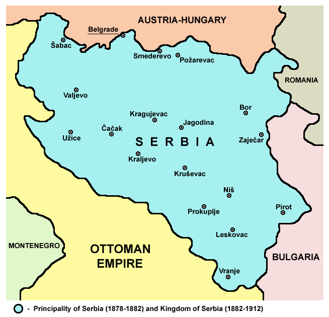
- English: Principality of Serbia (1878-1882) and Kingdom of Serbia (1882–1912).
- Srpskohrvatski / српскохрватски: Kneževina Srbija (1878-1882) i Kraljevina Srbija (1882-1912).
Source and licence
Self-made map by PANONIAN
| This work has been released into the public domain by its author, PANONIAN. This applies worldwide. In some countries this may not be legally possible; if so: |

|
This map has been uploaded by Electionworld from en.wikipedia.org to enable the |
References
- The Times History of Europe, Times Books, London, 2002.
- Denis Šehić - Demir Šehić, Istorijski atlas Sveta, Beograd, 2007.
- Istorijski atlas, Geokarta, Beograd, 1999.
- Školski istorijski atlas, Zavod za izdavanje udžbenika SR Srbije, Beograd, 1970.
- http://anamnesis.info/resources/Srbija1878-1913.jpg
- http://terkepek.adatbank.transindex.ro/kepek/netre/99.gif
derivative works
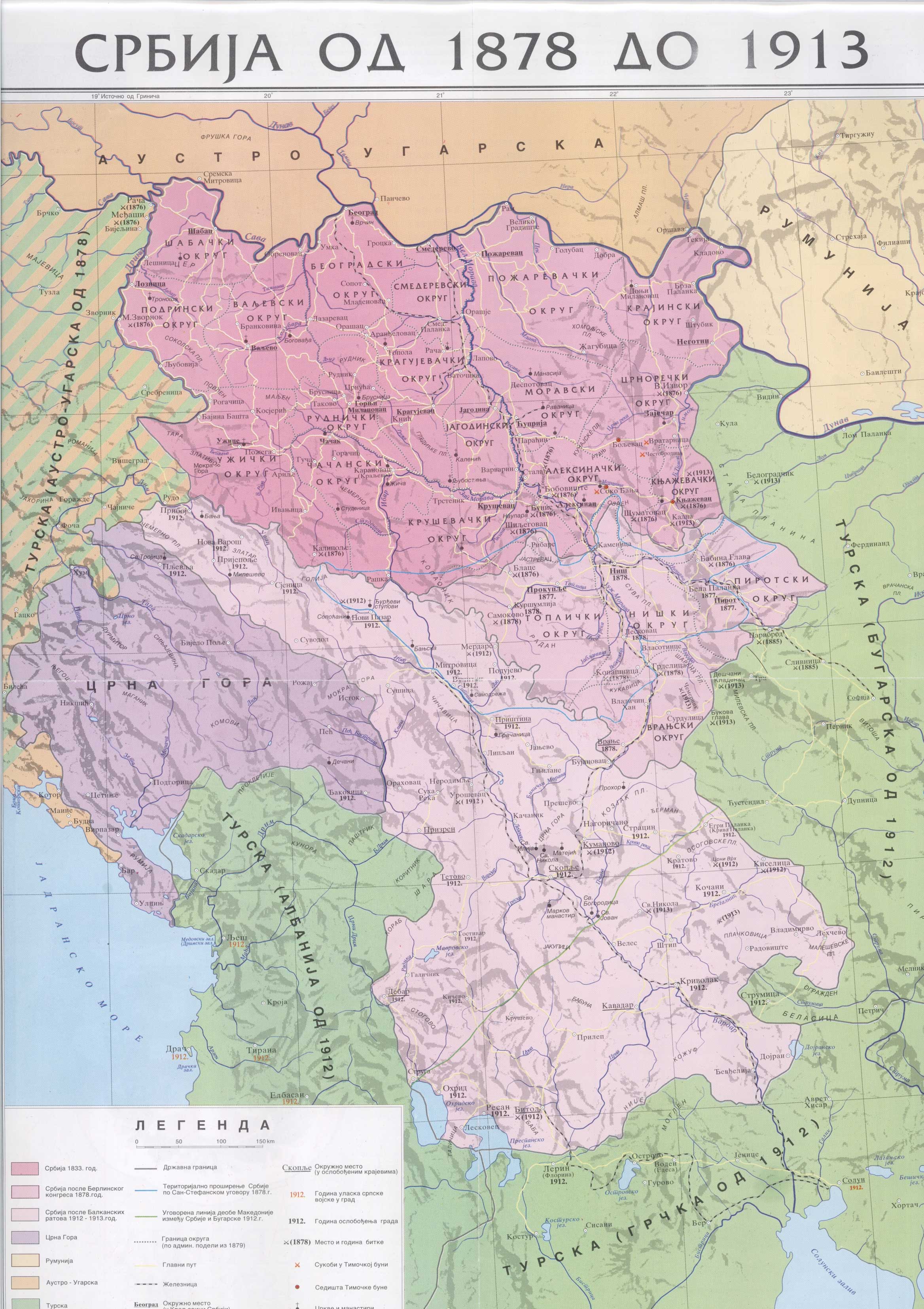
Derivative works of this file: Kingdom of Serbia 1882–1912.png
Faylın tarixçəsi
Faylın əvvəlki versiyasını görmək üçün gün/tarix bölməsindəki tarixlərə klikləyin.
| Tarix/Vaxt | Kiçik şəkil | Ölçülər | İstifadəçi | Şərh | |
|---|---|---|---|---|---|
| indiki | 17:52, 10 yanvar 2010 | | 654 × 630 (42 KB) | PANONIAN | improved version |
| 21:38, 21 dekabr 2006 |  | 627 × 602 (13 KB) | Electionworld | {{ew|en|PANONIAN}} Self-made map by PANONIAN {{PD-user|PANONIAN}} Category:Maps of Serbia |
Fayl keçidləri
Aşağıdakı səhifə bu faylı istifadə edir:
Faylın qlobal istifadəsi
Bu fayl aşağıdakı vikilərdə istifadə olunur:
- ar.wikipedia.org layihəsində istifadəsi
- azb.wikipedia.org layihəsində istifadəsi
- ba.wikipedia.org layihəsində istifadəsi
- be-tarask.wikipedia.org layihəsində istifadəsi
- be.wikipedia.org layihəsində istifadəsi
- bg.wikipedia.org layihəsində istifadəsi
- ca.wikipedia.org layihəsində istifadəsi
- cs.wikipedia.org layihəsində istifadəsi
- el.wikipedia.org layihəsində istifadəsi
- en.wikipedia.org layihəsində istifadəsi
- es.wikipedia.org layihəsində istifadəsi
- et.wikipedia.org layihəsində istifadəsi
- eu.wikipedia.org layihəsində istifadəsi
- fa.wikipedia.org layihəsində istifadəsi
- gl.wikipedia.org layihəsində istifadəsi
- id.wikipedia.org layihəsində istifadəsi
- it.wikipedia.org layihəsində istifadəsi
- ja.wikipedia.org layihəsində istifadəsi
- ms.wikipedia.org layihəsində istifadəsi
- nl.wikipedia.org layihəsində istifadəsi
- pl.wikipedia.org layihəsində istifadəsi
- pnb.wikipedia.org layihəsində istifadəsi
- pt.wikipedia.org layihəsində istifadəsi
- ro.wikipedia.org layihəsində istifadəsi
- ru.wikipedia.org layihəsində istifadəsi
- sh.wikipedia.org layihəsində istifadəsi
- sk.wikipedia.org layihəsində istifadəsi
- sl.wikipedia.org layihəsində istifadəsi
- sq.wikipedia.org layihəsində istifadəsi
- sr.wikipedia.org layihəsində istifadəsi
- sv.wikipedia.org layihəsində istifadəsi
- th.wikipedia.org layihəsində istifadəsi
Bu faylın qlobal istifadəsinə baxın.